GIS Module
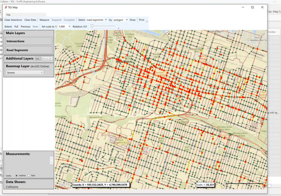
Like our foundation infrastructure module, the GIS Mapping modules connects all your data to locations. This allows for powerful visualizations that can help uncover patterns at the micro and macro level that can be difficult to see in the raw data.
Using the TES map search tool, users can:
- Select any locations and view their associated data visually on a map-based interface.
- Select values from any dataset in TES and view locations that match the values
- Use the visual map search options to capture specific groups of intersections, mid block and road segments
Common uses of the TES GIS module include viewing locations with:
- Specific collision types such as collisions resulting from speeding, impaired driving, etc.
- Specific traffic volume criteria
- Selected speed limit, average speed, 85th percentile, etc.
- Safety analysis and improvement initiatives
